

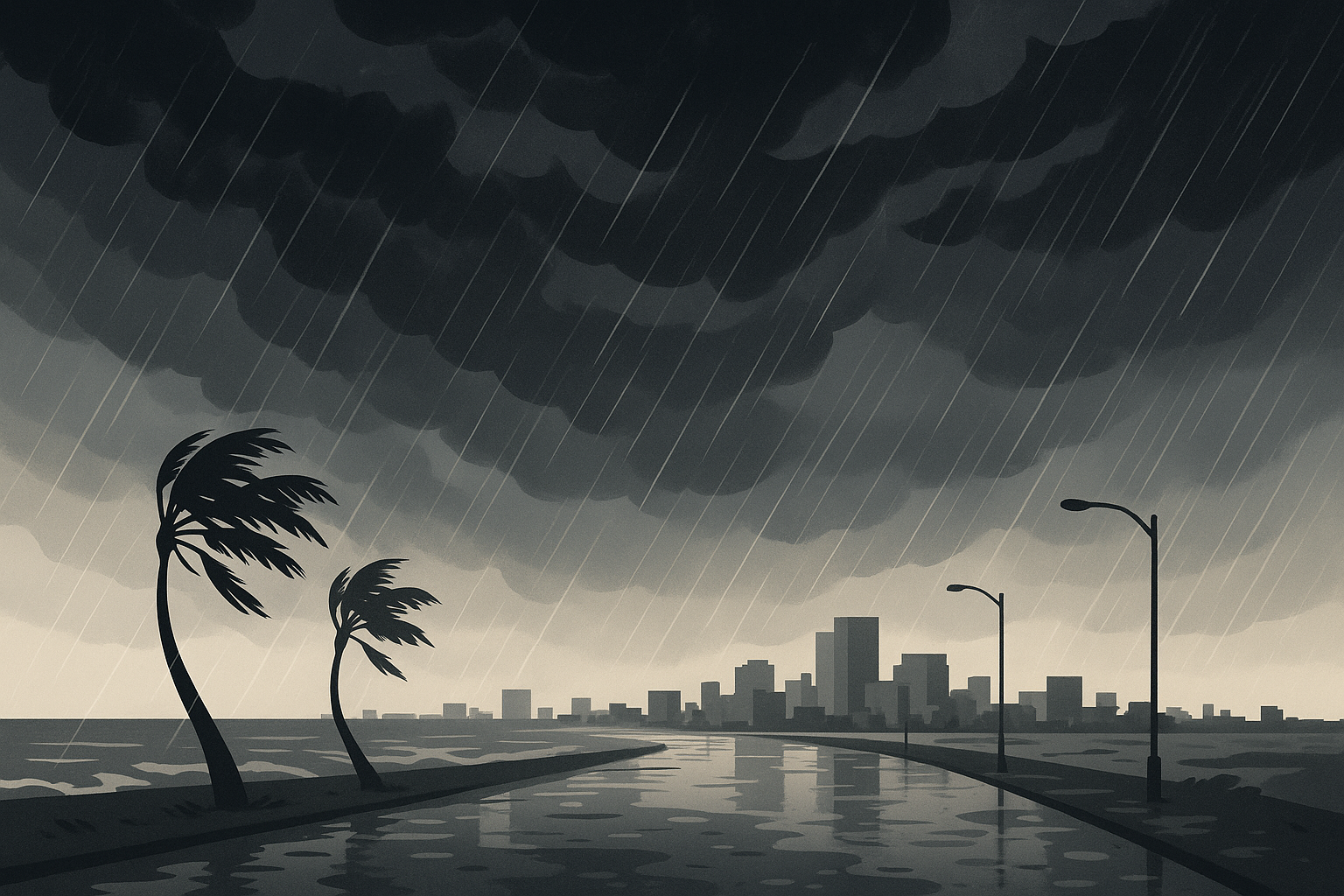
The remnants of Hurricane Isaias are expected to bring heavy rain, gusty winds and the potential for flooding to Hampton Roads, according to multiple local outlets tracking the storm’s path.
Reports indicate that the storm, which approached the Gulf Coast earlier in its life cycle, is forecast to move into the region and raise the threat of heavy downpours and ponding on roads. Local forecasters have flagged Sunday as the period of greatest concern, when the combination of rain and wind could create hazardous conditions for drivers and low-lying areas prone to flooding.
What forecasters are watching
According to coverage from area news stations, the primary hazards associated with the system are heavy rainfall, wind gusts and the possibility of localized flooding. Hampton Roads is especially vulnerable to flooding because of its low elevation, extensive coastline and the way tidal cycles can compound rainfall totals, leaving standing water in neighborhoods and along major roadways.
Residents are generally advised during such events to avoid driving through flooded roads, to secure loose outdoor items that could be caught by wind, and to monitor updates from the National Weather Service and local emergency officials. Even weakened tropical systems can produce dangerous flash flooding, and the amount of rain that falls over a short period often matters more than the storm’s wind category.
Timing and intensity still uncertain
The exact track, rainfall totals and wind speeds for the Hampton Roads area were not fully detailed across the available reports, and such forecasts commonly shift as a system moves. The overall message from local coverage, however, was consistent: residents should prepare for a wet and potentially stormy stretch and stay alert for changing conditions.
Tropical systems that make landfall elsewhere frequently retain enough moisture to cause significant rainfall well inland and along the mid-Atlantic coast. For communities in southeastern Virginia, that can mean swollen storm drains, flooded intersections and travel disruptions even when the center of the storm passes to the side.
How to stay ready
- Monitor official forecasts and any watches or warnings issued for your area.
- Avoid driving or walking through flooded roadways, where water depth can be deceptive.
- Charge devices and keep emergency supplies accessible in case of power interruptions.
- Check on neighbors in flood-prone areas and move vehicles to higher ground if needed.
As of the latest reporting, the specific extent of flooding and wind damage remained unconfirmed, and conditions were expected to depend heavily on the storm’s final track. Officials and forecasters were continuing to update guidance as the system approached.
Related coverage
- Winter Storm Snarls Hampton Roads Travel, Cuts Power
- Severe Storms Sweep Through Hampton Roads and Northeastern NC
- Storms Batter Coastal Virginia and N.C., Cutting Power
This report synthesizes coverage from multiple news outlets.